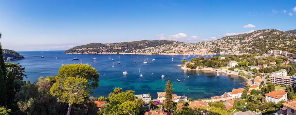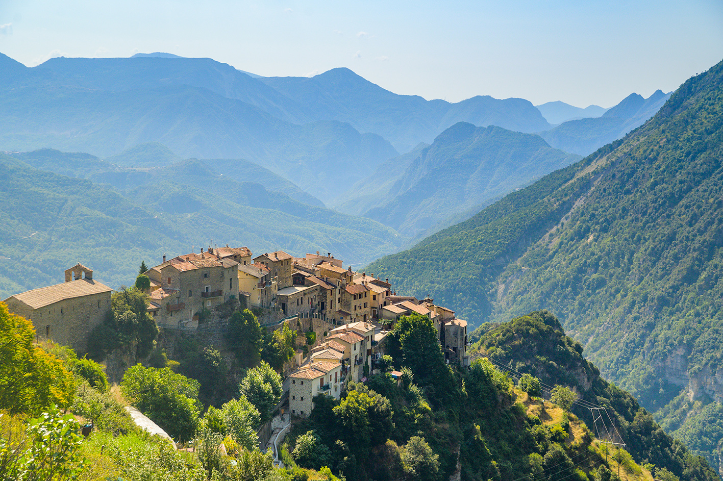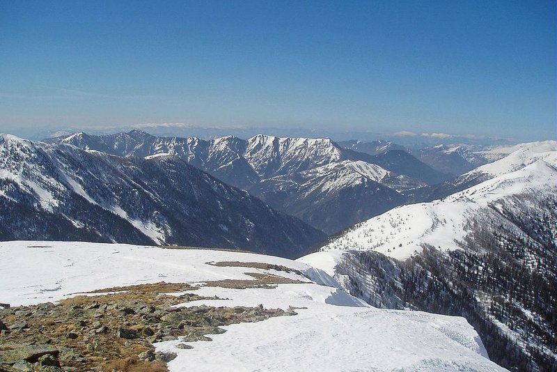
A bucolic through the various stages of vegetation, all the way up to the summit (2087m). This path heads through former farming terraces which now lie fallow, a pine forest, meadows interspersed with groves of trees, a forest of fir trees and calcareous
From Saint-Dalmas, the itinerary almost entirely follows GR5, which is signalled by a red and white double mark. The departure point is from the square located beneath the church (marker 78). Turn right in the village, continue for 60m until you reach marker 76. Turn left onto the track towards Col de la Madeleine.At marker 75, continue straight on, head through the pine forest and past the first larch trees. The path is quite steep until you reach the Col du Varaire, which will take approximately an hour.Go past a small spring and some old wooden drinking troughs. At marker 310 (Col du Varaire), follow the line of the ridge between La Vésubie and Le Valdeblore; Le Caïre Gros can be seen from here.Head through the larch trees which are home to several different species of bird. The woods become denser with darker trees: spruces and firs. Continue on the left to reach the Col des Deux Caïres (marker 99). The mouth of the Var can be seen from here.Now leave GR5 and, on the left of the col, take the narrow footpath which rises in zigzags towards the summit (30 minutes approximately). When you reach it, the full panorama becomes will be revealed.Follow the same route for the return journey, although a variation is possible, extending the hike by heading back via the Col de la Madeleine from the Col des Deux Caïres.This detour will take an extra hour. Follow the Conseil Départemental markers to get back to Saint-Dalmas.
Pricing
Free of charge.