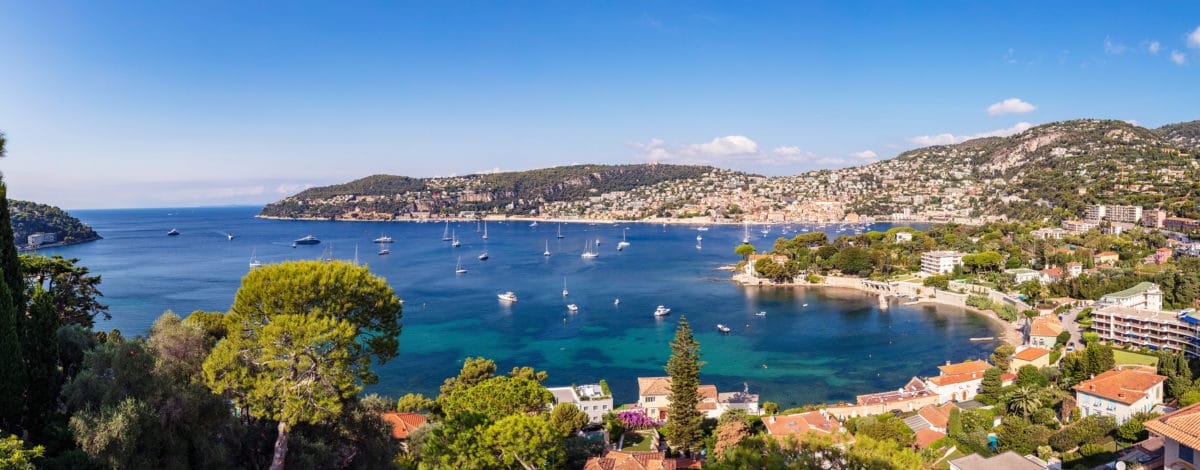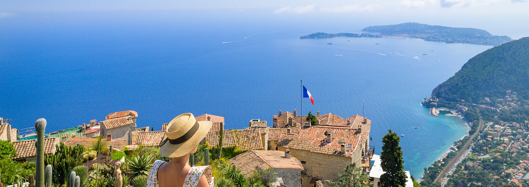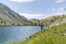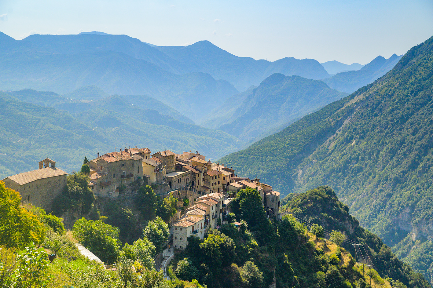
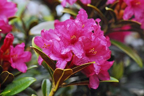
A circuit for discovering the forests and high summits of the Marcantour, as well as the prime habitat for black grouse.
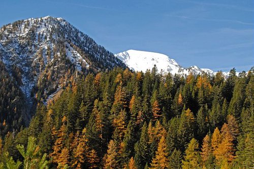
The departure point is marker 434 and the path runs along GR52 (red and white markers) which heads up the Salèse valley, passing successively through fir, Scotch pine and finally larch forests.At marker 435, follow the path for 200m until the Col de Salèse. The latter is bordered on its left-hand side by a slope which, 50 years after this route was created, is beginning to be taken over by moorland shrubs and bushes.At marker 436, turn left towards the Lac des Adus. The path passes close to the border of the plateau, made up of heavily eroded granite. The sandy slopes are the fruit of this erosion.At marker 437, turn left towards the Lac des Adus. As you climb higher, you will leave the forested areas and a vast panorama over the high summits will become visible.The path then heads downwards in stages towards the Lac des Adus.After passing close to the refuge located between markers 395 and 396, the path heads down into the denser subalpine forest before linking back up with the carpark which was the starting point of the hike.
Pricing
Free of charge.