Hike to Tourrettes-sur-Loup via Cambreniers and Virettes.
From the Tourist Office, go to the Avenue Rhin et Danube, after the Floréal Hotel, take the Ancienne Route de Tourrettes. After the bridge over the Malvan, go up to the Chemin des Colles which you follow steeply for about 100 metres. You just need to cross the road Vence-Grasse to find yourself at the foot of the Chemin des Cambreniers.
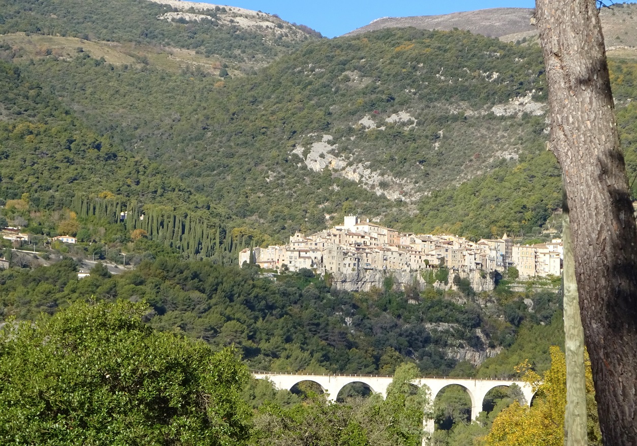
This tarred road goes up quite steeply between numerous poperties. The road ends at the forest, but before going further, turn back to admire the landscape. Walking into the forest, several paths attract the walker. As far as our route is concerned, you just need to follow the signs near the reservoir of the Malvan to walk on a lovely uphill road of about 200 metres, then becoming flat or slightly falling. After about 1 km, cross the Vallon Notre Dame. The Claret cistern serves as the boundary between Vence and Tourrettes sur Loup. Two hundred metres ahead, you leave the forest, on your left you can see a wall in a circular shape enclosing a hillock, and measuring 2 to 3 metres high with a thickness of 3 to 4 metres.
Once more, the road is tarred; you are on the Route des Virettes. You will see on your right one of the first fields of violets, the cultivation of which is a speciality of the village of Tourrettes. You will then reach the “Nouvelle Aurore” where the Chemin des Virettes completely changes direction to the left and where the downward slope is more marked. You will be on the Route de la Madeleine at the level of the oratory Sainte Anne. Taking this last road to the right, you will find yourself 500 metres ahead from the town centre of Tourrettes. Because of the important difference in altitude the view is obviously well worth looking
At.
Opening periods
All year round.