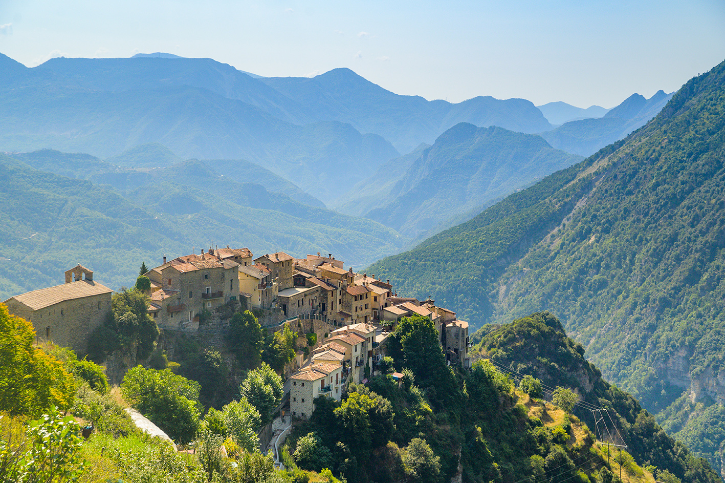
Relive the history of the fortress of Authion on this historical trail where the remains of the Second World War can still be seen today.
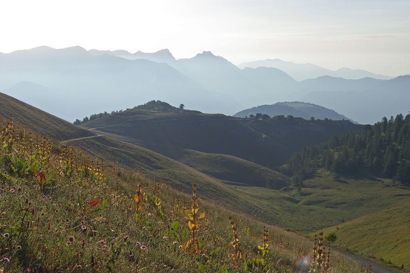
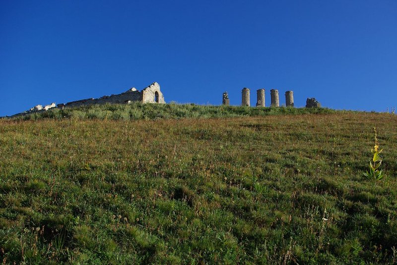
At marker 31, take GR52 and follow it as far as Cabanes Vieilles. The view over the Bévéra valley is breath-taking: an entanglement of wooded ridges enshrouded by a light morning mist.At Cabanes Vieilles, ruined barracks form a reminder of the violence of the combats which took place in 1945. At the parking area, there are information boards.After you have passed the ridge, the circuit continues through a north-facing larch forest below the fort of Mille Fourches.Having crossed the Crep mountain stream, the way climbs gently upwards. At a flatter section, the buried fort of Plan Caval watches for hypothetical enemies. Between the ruined barracks, there are deep holes in the ground which are partially blocked by cubes of concrete. Be extremely careful in this dangerous area.Continue on GR52, climbing up to La Redoute de la Pointe des Trois Communes. From there, continuing along at the same altitude, a path passes by the ruined barracks; it follows the ridge of La Forca, which was an important area during the conflict and arrives at the fort of La Forca. Head down until you are below the fort and turn right towards "La Cabane de Tueis". You will get back to the departure point after the National Park House.
Pricing
Free of charge.