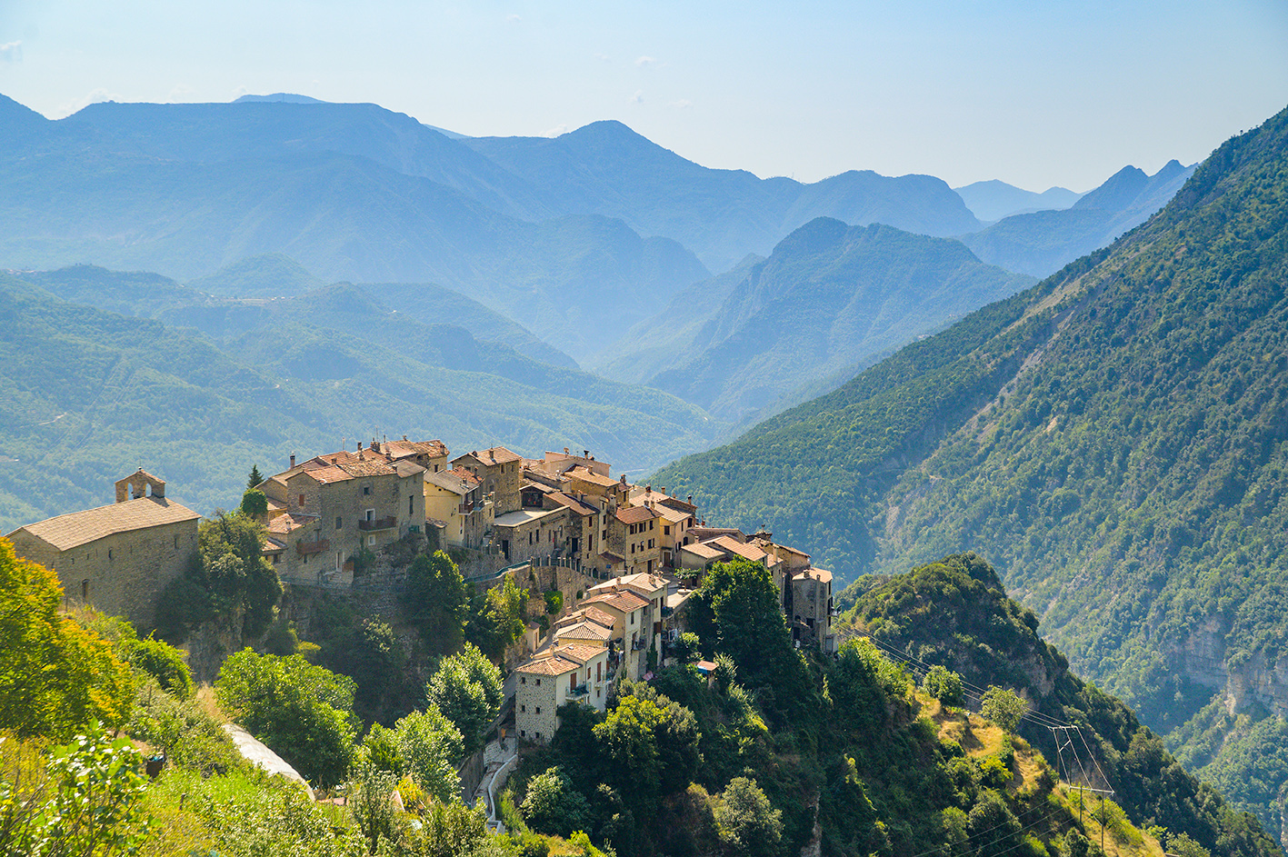

You will travel along many a military path and you can imagine the lives of those men of arms many years ago in the countless military camps and bunkers which are scattered throughout the itinerary, in the heart of Haute Tinée and La Stura.
!!! IMPORTANT !!!In the second stage, the "Chemin de l' énergie" passage is partially closed between beacons 111 and 110, by municipal by-law.A diversion is set up from beacon 111, by ascending to Lake Fer and descending to Lake Pétrus (b. 110).
Pricing
Free of charge.