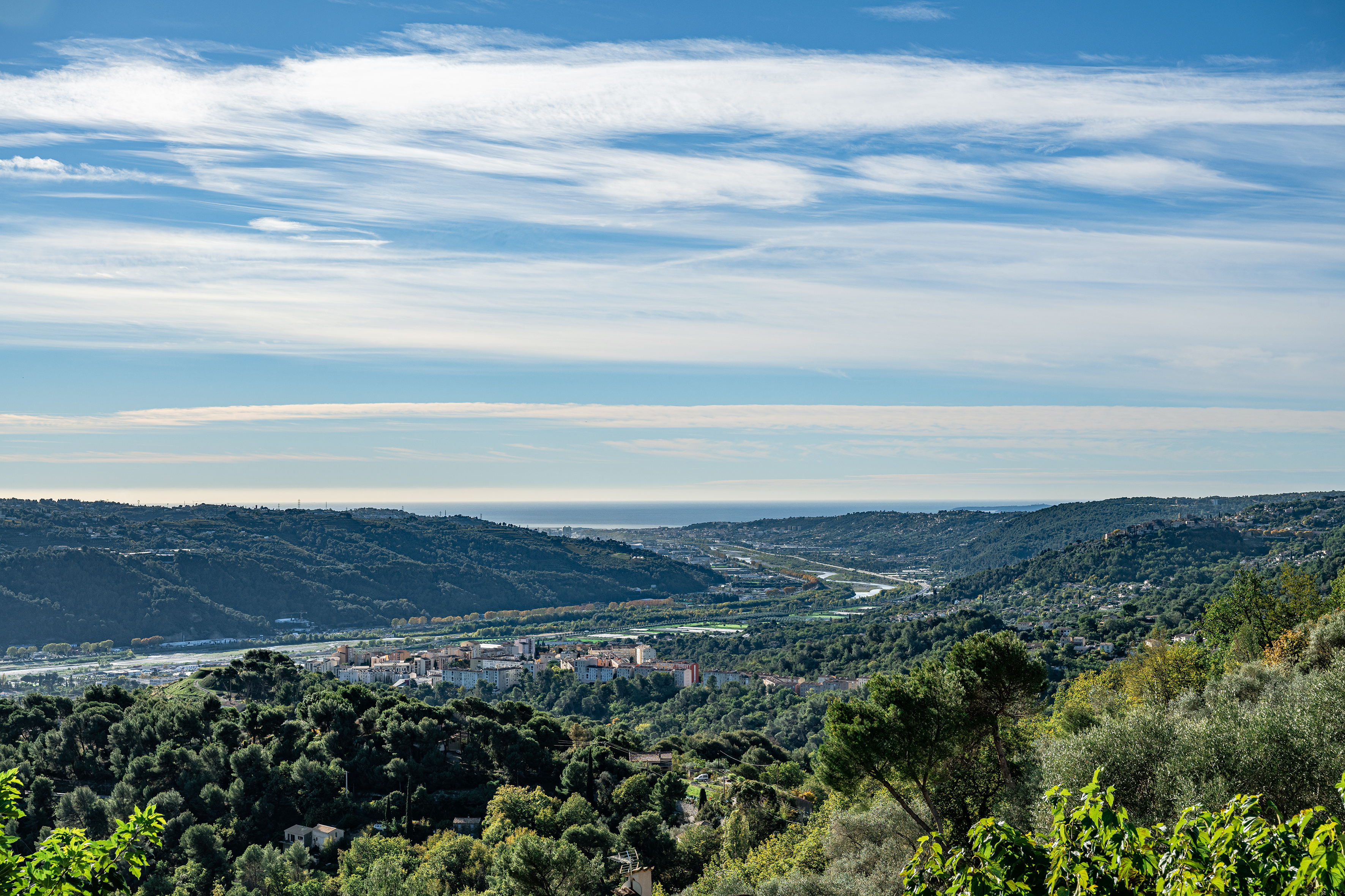
A lovely panoramic view of the mouth of the Var and the Mediterranean Sea!
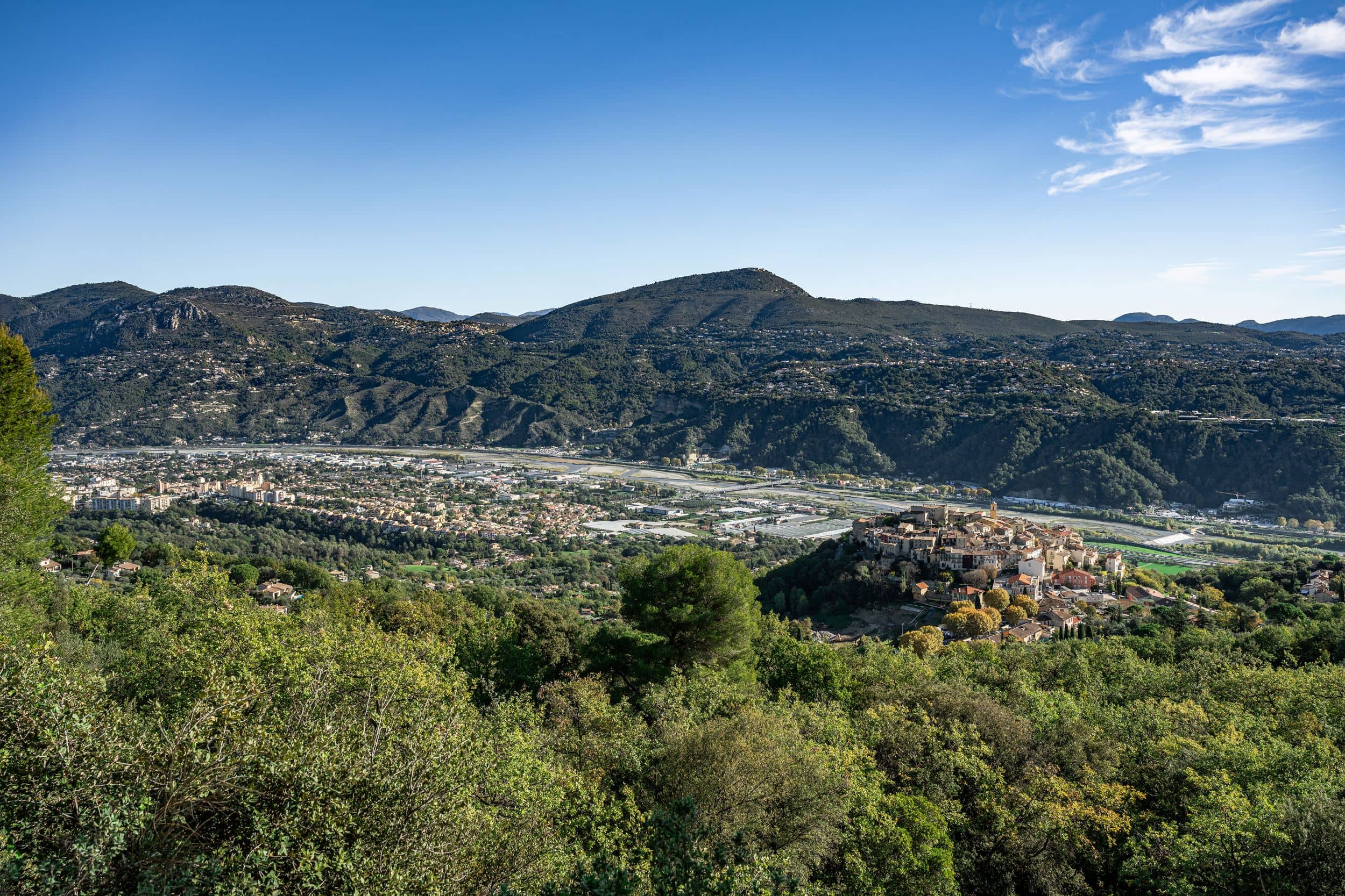
You've just stopped on this point overlooking the coastal plain. To the south, it stretches to the mouth of the Var and the Mediterranean Sea on the horizon. The Var river, which has been dyked, has reduced its flow area to an average width of 300 metres. The development of its riparian zone has led to its classification as a Natura 2000 site. The canalised form of the river is a prominent feature of the landscape, as are the lines of the traffic arteries that run alongside it, particularly on the left bank, where plane trees punctuate the thoroughfare. A bridge spans the river, linking the two banks.
Before your eyes, on the right bank of the Var, the communes of Saint-Jeannet, La Gaude and Saint Laurent du Var with their farmland reclaimed from the river bed. In a checkerboard pattern, open-field vegetable cultivation, greenhouse tunnels and glasshouses stand out clearly. On the left bank, in the commune of Nice, agricultural and commercial activities are spread over flat land. Its terraced hillsides are home to orchards and, above all, the Bellet Appellation d'Origine Protégée vineyards, residences and wooded areas in the valleys.
Pricing
Free access.