The Col de Vence is a pass overlooking the Parc des Noves and the Baous massif.
From the tourist Office, follow the avenue Isnard to the end of the avenue des Poilus. You arrive at a small roundabout, turn right and cross the bridge. After the bridge, turn left. About 100 m take the Chemin Saint Martin, on the right. After climbing for some 200 m you reach the chemin du Riou. Keep right on and you reach the road leading to the Col de Vence.
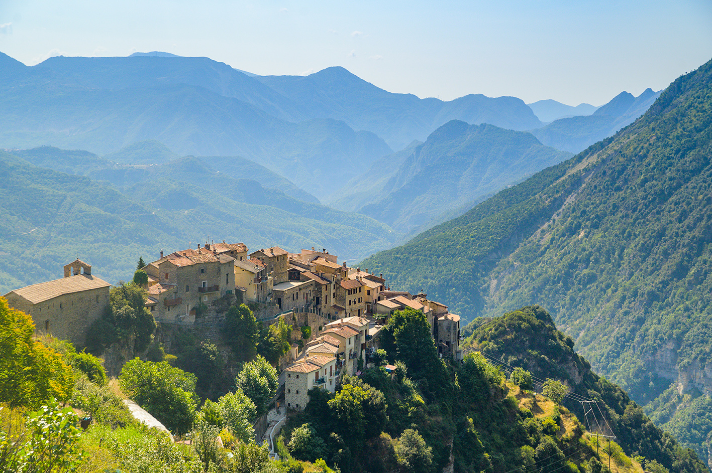
This road climbs with several bends, allowing numerous views over Vence and the Pays Vençois, among which, on the left, the ruins of the Abbey of the Templars, within the walls of the Domaine St Martin. These ruins date from the end of the 12th century. The Order of the Templars was abolished by the Pope in 1312 after an intervention by the King of France, Philippe le Bel. The road drops into the Lubiane valley, and into an area of quarries. A very steep little path starts on the right before the quarry, near a plaque in memory of victims of Nazi labour camps. Leave behind this difficult path and continue past the quarry and the last house to another, easier, path with a small parking area.
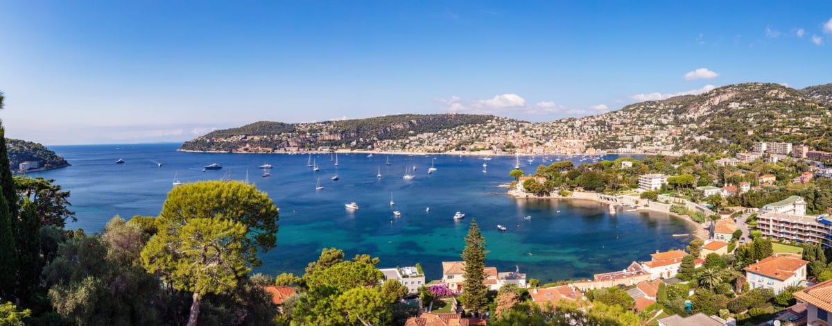
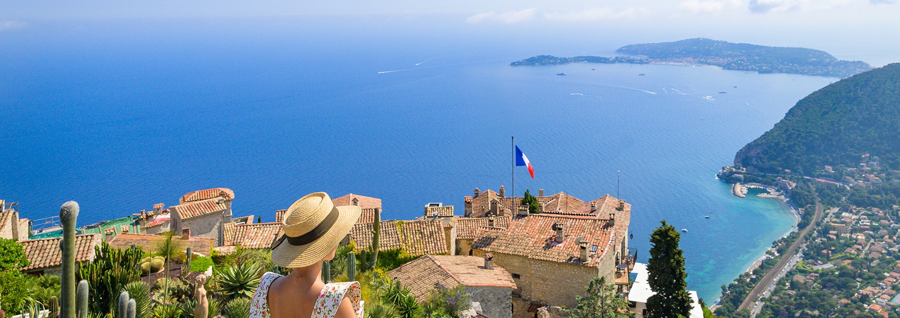
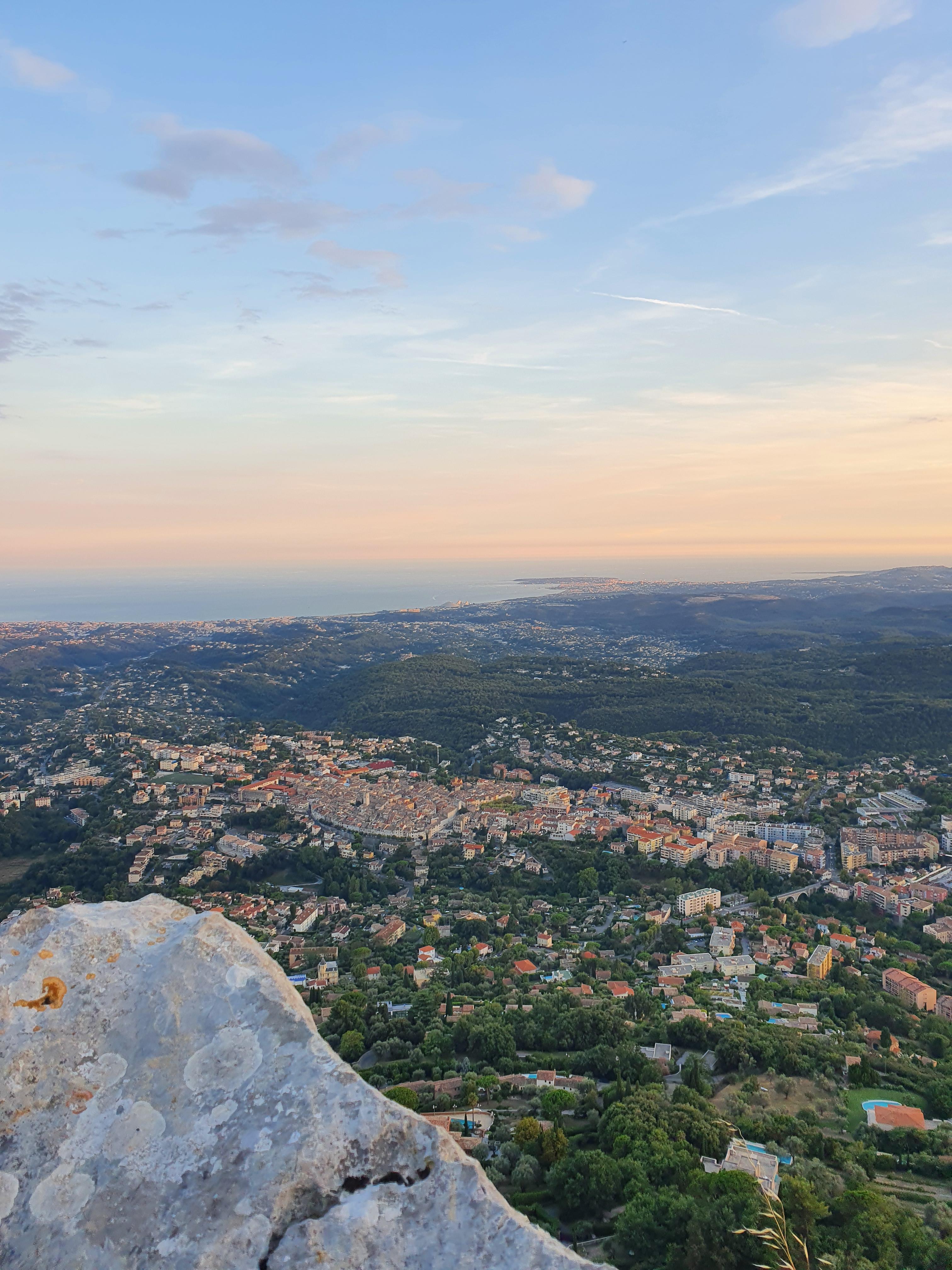
This path which leads off on the right, opposite the old quarry on the left of the road, passing behind the sheepfold and joins the ‘EDF’ path. From the top of the Baou you have an exceptional panoramic view. To the East, on the other side of the Var valley lies the village of Aspremont, between Mont Cima (880 metres) and Mont Chauve (854 m). Opposite, overlooking the Var, are the slopes which produce the famous Bellet wine. Behind, Mont Angel (1150 m), which overlooks Monte Carlo, and the Tête de Chien (556 m) to the South of La Turbie, then in the background, the last foothills of the Alps. Cap Ferrat stands out against the Mediterrenean, and, nearer, Mont Boron (178 m) marks the entrance to the port of Nice. Then Nice airport. To the South, the whole coast, from Cagnes sur Mer to the Cao d’Antibes, and, in the background, the Lérins Islands.
Nearer, the village of Saint Paul perched on its rocky spur, the wooded massifs which surround La Colle sur Loup, and farther away, the woods of Valbonne. Super Cannes on one side, and the massif of the Esterel on the other, with various summits amongst which the Pic de l’Ours, recognisable by its TV mast, frame the Bay of Cannes and the Gulf of La Napoule. To the West, on the other side of the Malvan valley, the summit of the Malvan (1023 m), the Puy de Tourrettes on the right (1267 m) and the Pic des Courmettes on the left (1248 m).
On the other side of the Loup Valley, the Haut Montet (1335 m), which overlooks the rocky plain Caussols, and in the background the Montagne de Thiey (1552 m) and the Montagne de l’audibergue (1642 m). To the North the Cheiron range, which rises to 1777 m and on which you can see the heads of ski-lifts from the resort of Gréolières les Neiges. Finally, on the two sides of the Cagnes valley, the Baou des Noirs (680 m) and the Baou de Saint Jeannet (800 m) merge with the Baou de la Gaude (same height). Return to Vence by the same route.
Reception of animals
- Pets welcome
Pricing
Free access.