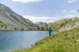
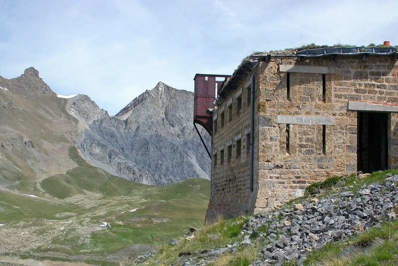
Head off in the footsteps of soldiers at more than 2200m altitude.
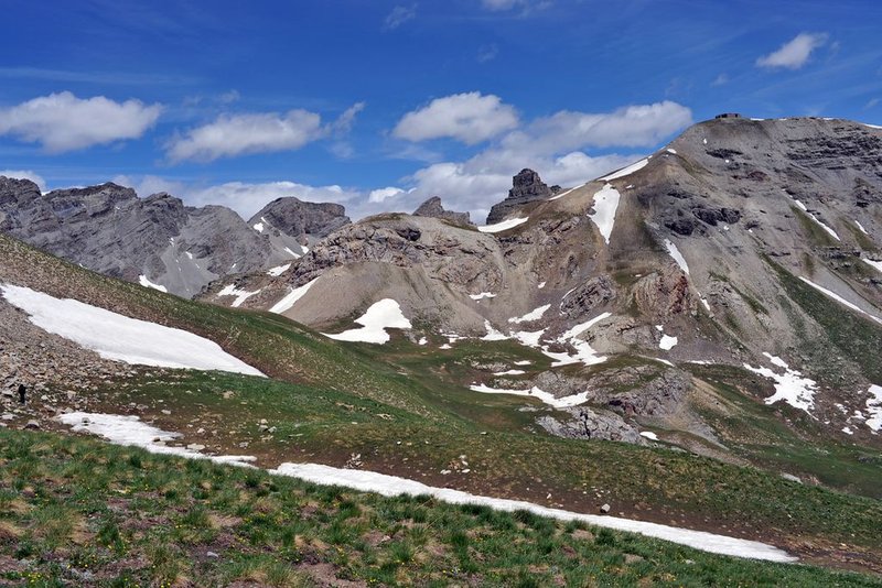
From the Camp des Fourches, head towards the Col des Fourches. After 5 minutes' walk, take the left fork onto an old military path. Continue straight on following the yellow markers. The stony path gradually fades away, turning into a track among the Alpine grasses. Here, you may see marmots, choughs and jackdaws which live in the surrounding areas. You will subsequently begin to progressively climb towards the Cime de Pelousette. After the path zigzags a few times up the grassy slopes, you will reach the summit of the Pelousette whence there is a panoramic view over the valleys of Ubaye, La Bonette and the Salso Moreno.
Pricing
Free of charge.